Záruby
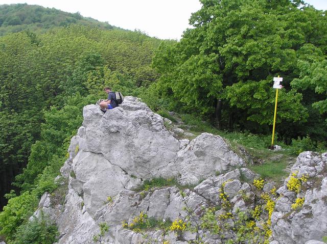
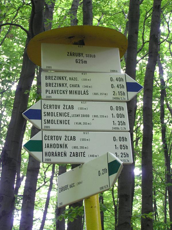
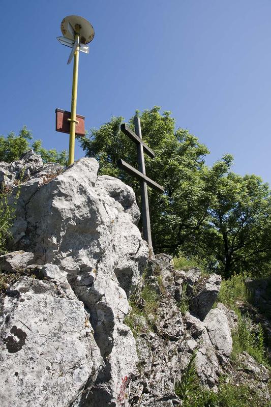
This average half-day hike has a relatively high elevation gain with regard to the conditions in the Little Carpathians. From Smolenice railway station (210 m), situated approximately 2 km from the village, we will follow the yellow trail markers. Behind the railway crossing, we turn right onto the paved road leading towards the stone quarry, and then into the forest. Approximately 500 m under Havrania Rock, we follow the Štefánik Major Trail, indicated by the red trail markers. After reaching Havrania skala, we continue westward around Havranica peak. After a short time, the green trail from Čertov gully joins the red trail from the left. Continue following the red trail markers up the sharp ridge built from hard limestone. We will reach Záruby Mountain (767 m) after a while. This is the highest point of the trail and the highest mountain of the Little Carpathians at the same time. Return back to the crossroads by following the green trail markers and turn right. The green trail descends down the southern slope into the saddleback at the crossroads above Čertov gully. Turn left at the blue trail markers and go down the southern slope of Havranica. We come out of the forest close to Smolenice Castle. There are blue and yellow trail markers leading from the castle to Smolenice (225 m).


Contact
Záruby
Smolenice