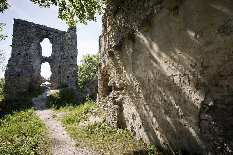
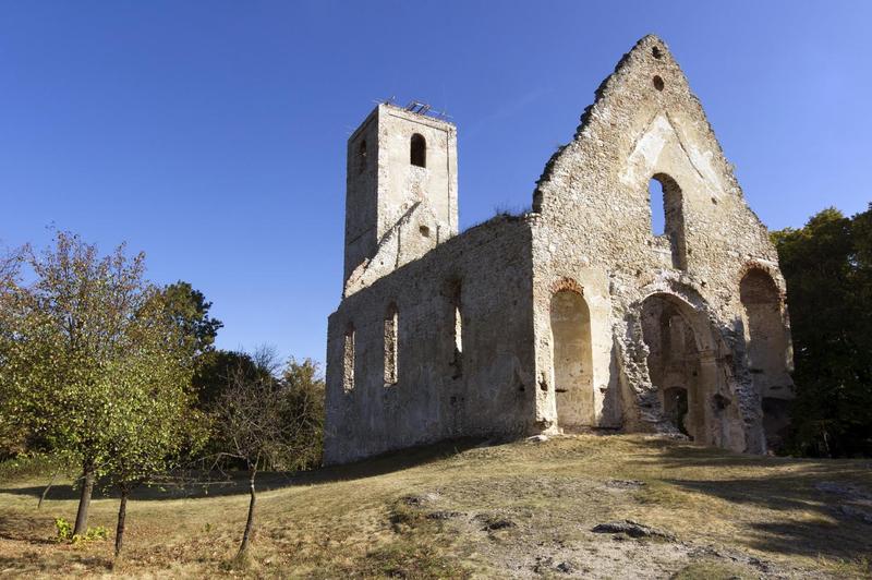
Dobrá Voda Ruin
This undemanding half-day hike leads to historical sights and is easy from the viewpoint of orientation, following the blue trail markers from the village of Naháč (240 m) to Dobrá Voda. Turn left in the centre of Naháč, walk along Dubovský stream, first through the fields and meadows, later along the forest edge, continuing to the ruins of the Church and Monastery of St. Catherine. The blue trail markers guide you from the Monastery to the locality of Okrúhla. The trail descends into a shallow-sloped valley from the small mountain Agáty. Cross the stream using the footbridge and walk up the field to get on top of a round ridge. The country road leads to the village of Dobrá Voda. Follow the red markers of Štefánik Major Trail in the village centre, leading towards the cemetery and further into the coniferous forest. We now find ourselves in Dobrá Voda Carst, with an area of 60 km2, with several springs, caves, and lakes. In order to get to Dobrá Voda Ruin, we take the stone path ajoining the major trail. We return to the centre of Dobrá Voda village (248 m) taking the same trail.

Contact
Dobrá Voda Ruin
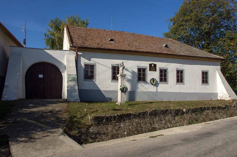
Dobrá Voda